
Presentation of the Iparralde / Basque Country 2004/2024 report in Estia
Gaindegia,
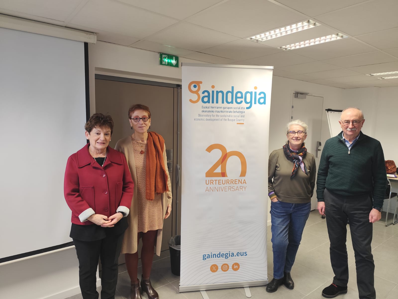
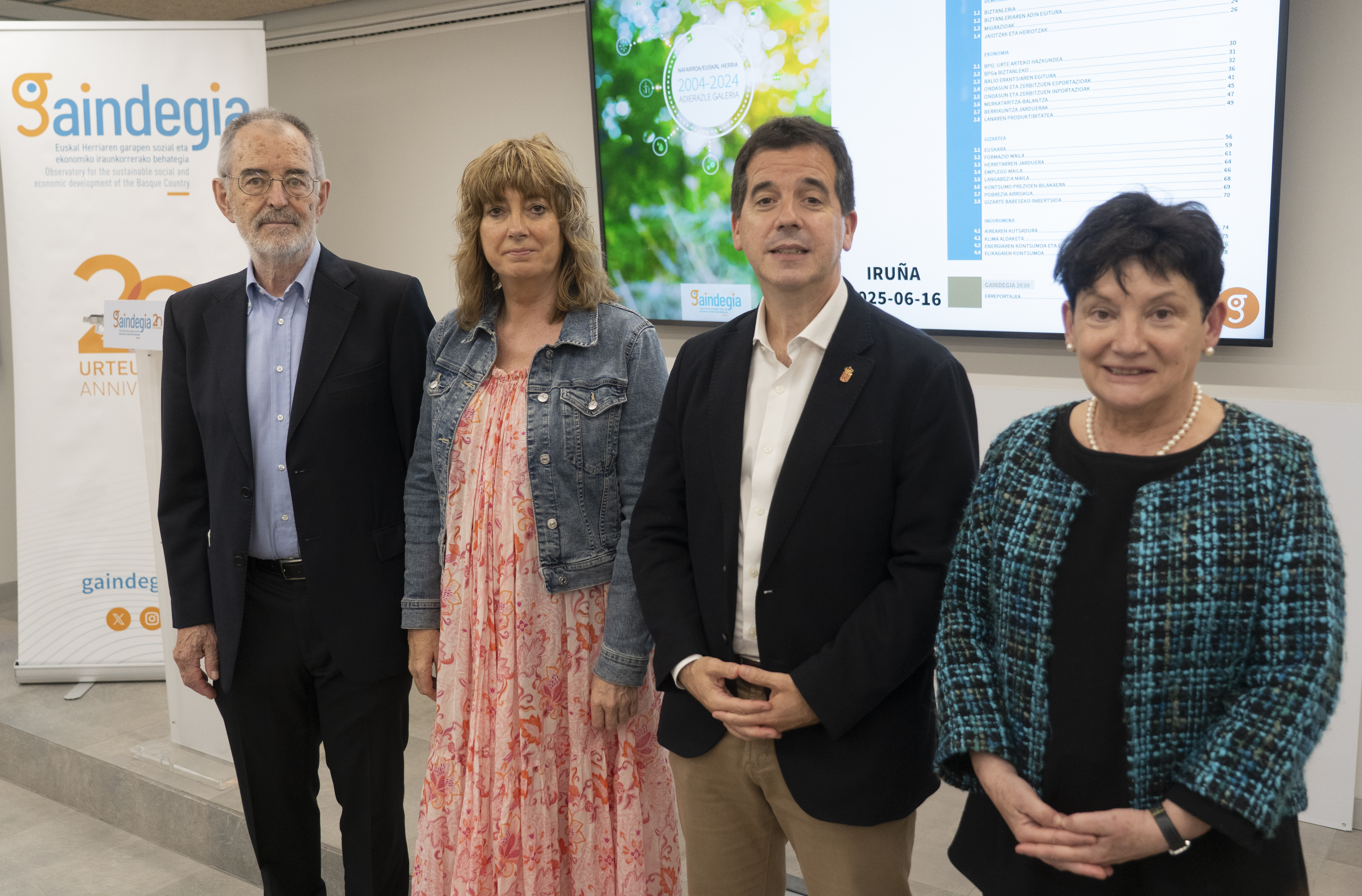
Gaindegia has presented the Iparralde/Basque Country 2004/2024 statistical report at the social event held at the Estia Institute of Technology in Bidarte.
Last updated 3 mins ago

![[Euskalgeo.net]: Basque Country's spatial data portal is up and running](/sites/default/files/albiste-irudi/euskalgeo.jpg)