Iparraldea / Euskal Herria Indicators Gallery 2004-2024
Here you can download the Iparraldea / Euskal Herria Indicator Gallery 2004-2024 in french
Last updated 3 mins ago

Here you can download the Iparraldea / Euskal Herria Indicator Gallery 2004-2024 in french
Last updated 3 mins ago
Here you can download the Navarra-Basque Country Indicators of Gallery 2004-2024 in Spanish
Last updated 3 mins ago
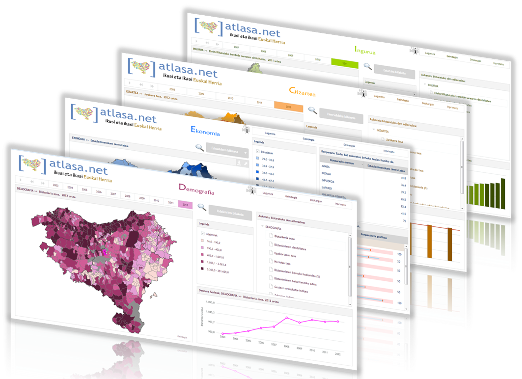
Gaindegia has renewed the Basque Country atlas and has created a new platform incorporating a vast amount of data on Basque Country as a whole to represent it on maps.
Last updated 3 mins ago
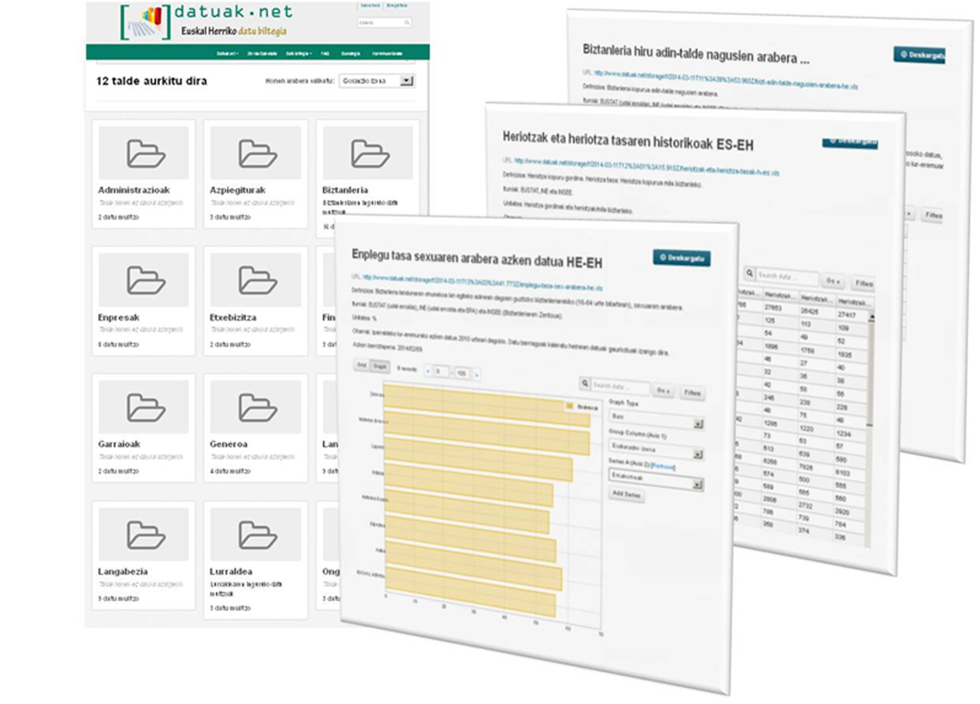
This platform offers open and reusable work files on economy, society, demographics and environment in Basque Country (opendata philosophy).
Last updated 3 mins ago
This portal intends, above all, to be a work tool for students, researchers and other professionals. Right now, the portal offers a basic catalogue (catalogue of towns, districts, ports, airports, etc.) that will be added to over the coming months.
Last updated 3 mins ago
The Basque Country has important mobility infrastructures. Compared to European Union countries, the Basque Country's indices are some of the highest both in density of vehicles and kilometres of motorways, as well as rail electrification. (Note*)
The Basque Country has important mobility infrastructures. Among European Union countries, the Basque Country's indices are some of the highest both in density of vehicles and kilometres of motorways, as well as rail electrification.(Note*)
You have updates on the labor market indicators in The Atlas of the economy and society of the Basque Country, www.atlasa.net. You can check the information in the level of municipalities, counties, and even in provinces or as nation.
Last updated 3 mins ago